DuPont State Recreational Forest’s
Continental Divide Road

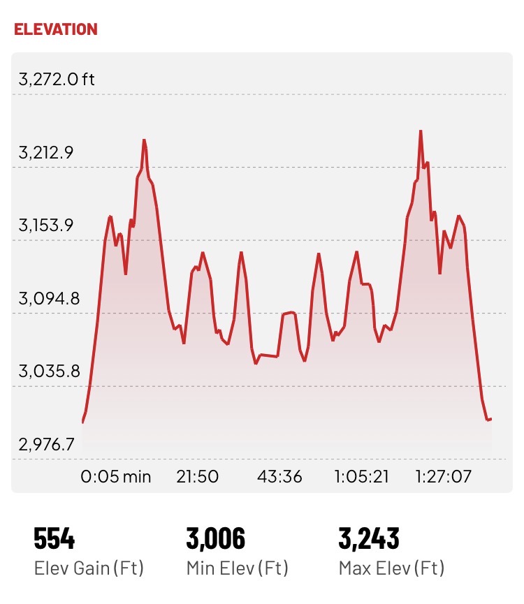
DuPont’s Continental Divide Road Trail connects Solomon Jones Road to Reasonover Road. The trail is really wide and easy to walk. There are some elevation changes. This was an out and back hike. I did 4.31 miles total. I haven’t gotten to the end yet.
Screenshot


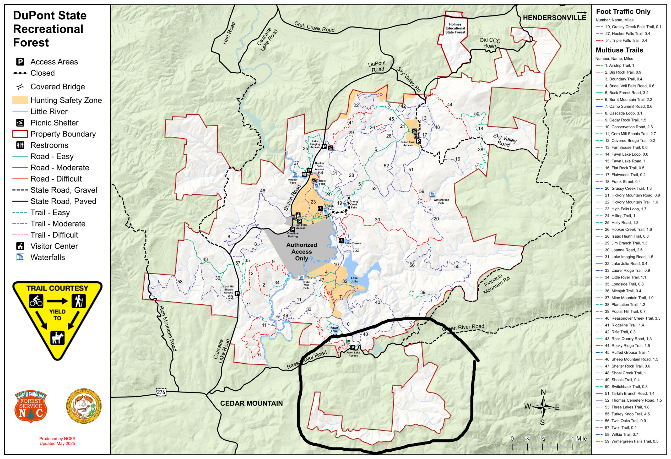
DuPont’s Map with new land circled.

The trailhead on Solomon Jones Rd is on the state line, right before you cross into Greenville County, SC. There is barely room for one car to park. It is almost 3 miles from Route 276.
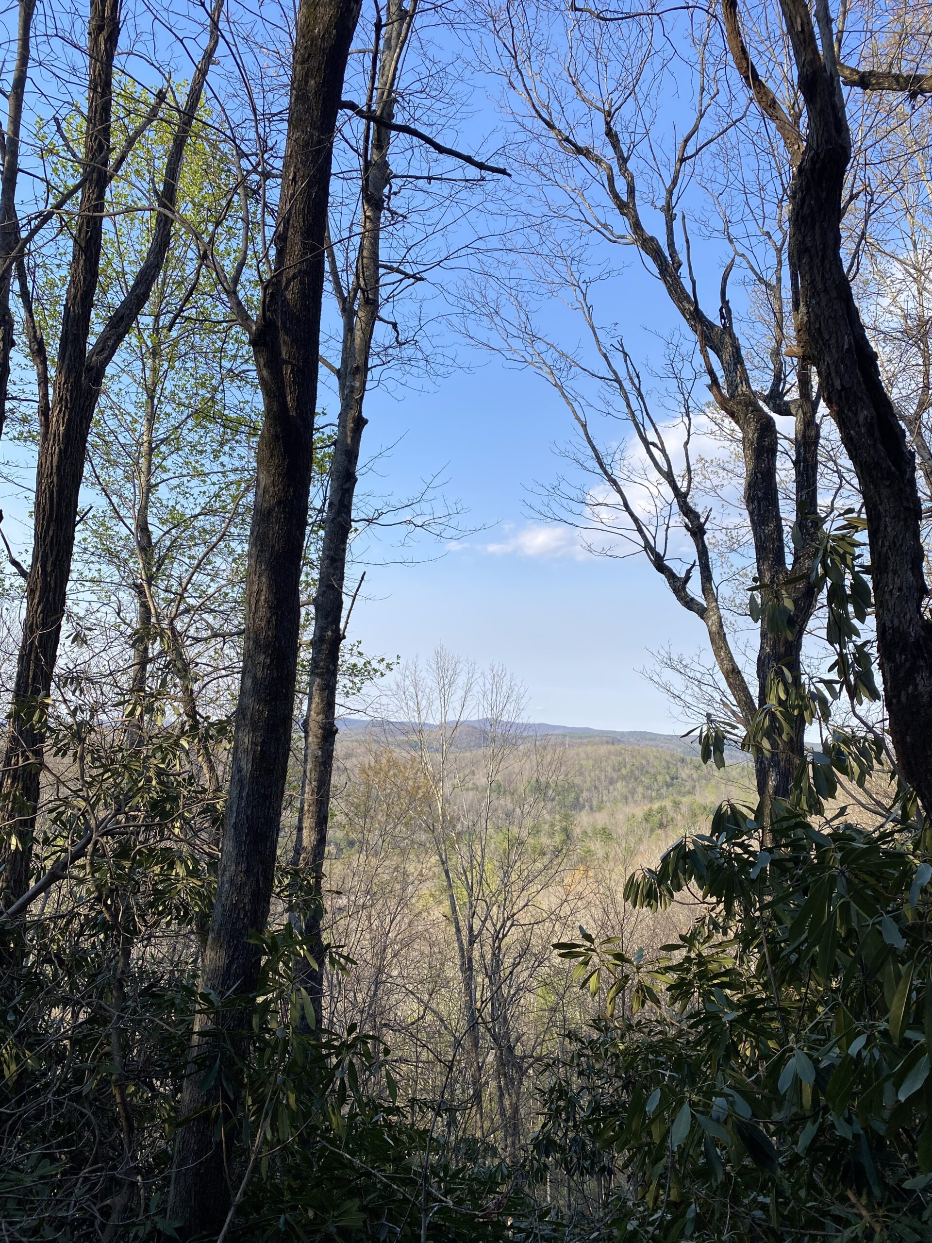
The views are amazing. You can see Mount Pisgah from parts of the trail while the leaves are off.
test
The trail is a joy to walk. One thing that really stands out is how quiet it is. Even though it is between two roads, Solomon Jones Road and Reasonover Road, once you get a ways in you realize how quiet it is, except for the birds singing and if you stop and listen at the spring you can hear water trickle.
An Additional Trail to Explore.


This trail follows the state line and the Continental Divide.
It was so exciting to follow this trail and I wondered why I hadn’t taken it before. I will definitely continue to hike it. It is a challenge for sure. Pictures don’t do the steepness of the trail justice. You follow the state line and it is just delightful. Sometimes the trail seems to end but I continued by following the boundary signs on the trees and soon the trail was visible again.
I wonder where that goes?
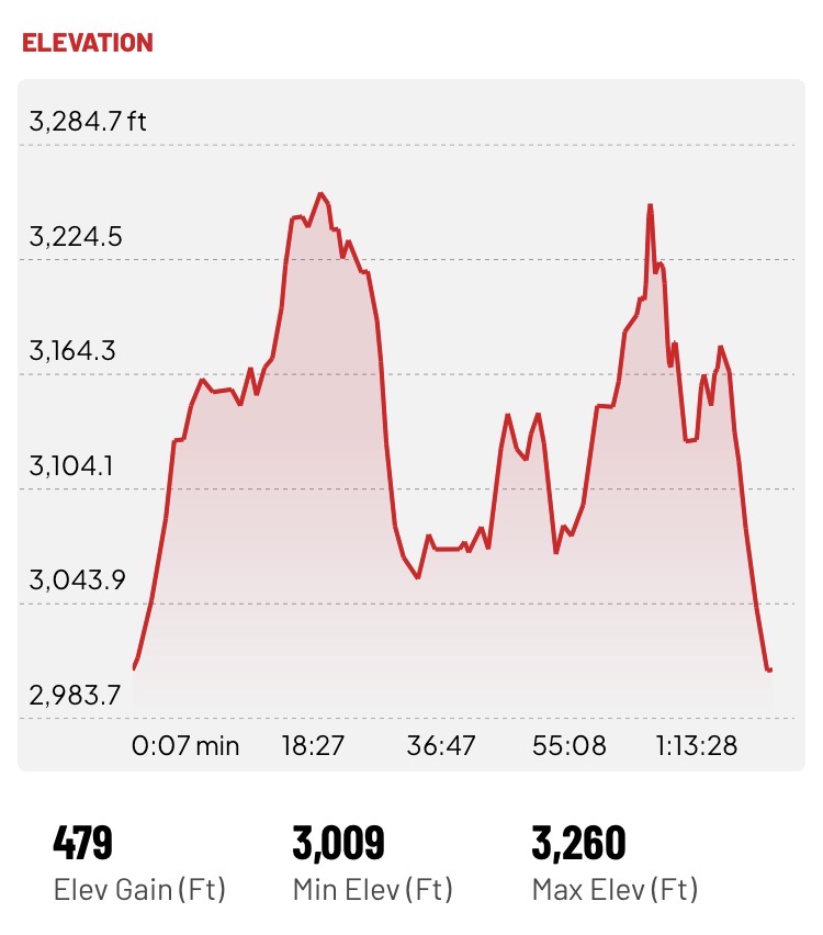
I’ve hiked the Continental Road Trail several times now. At the trail head there are 2 routes. One is the road I wrote about above and the other looks like a road that instantly goes up. I decided to investigate the road I hadn’t traveled yet, and, wow, it goes up :).
Screenshot


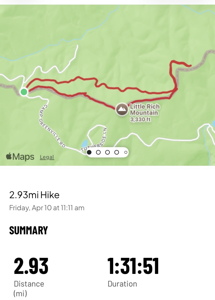
The Loop
This hike was 2.93 miles and 479 feet of climbing. Great views and a great workout!
Screenshot
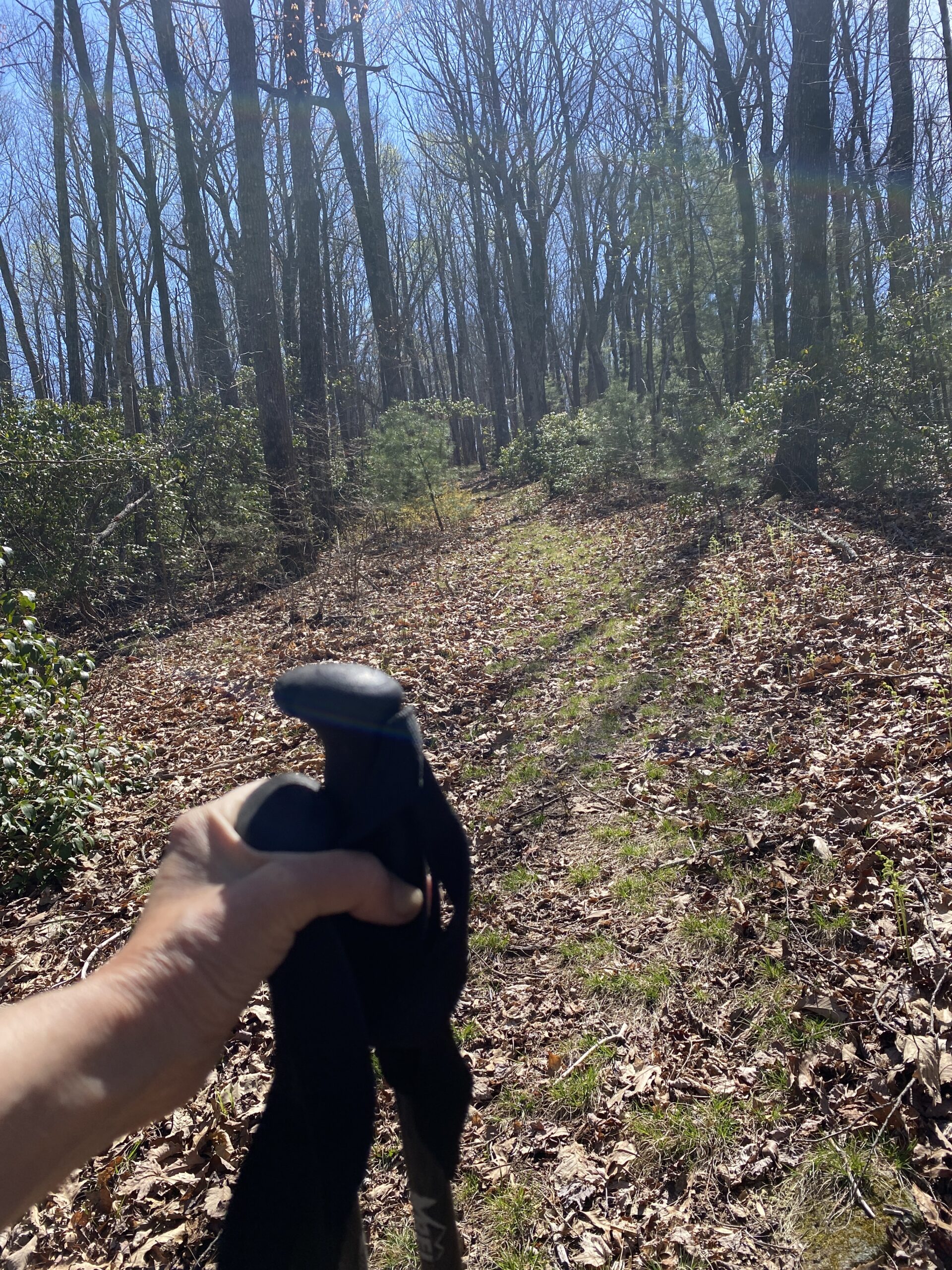
Attempting to show the steepness of the trail. Not sure it really captures it.
The Views
The views along the trail were fantastic. I could see mountains in North Carolina on one side and South Carolina on the other.

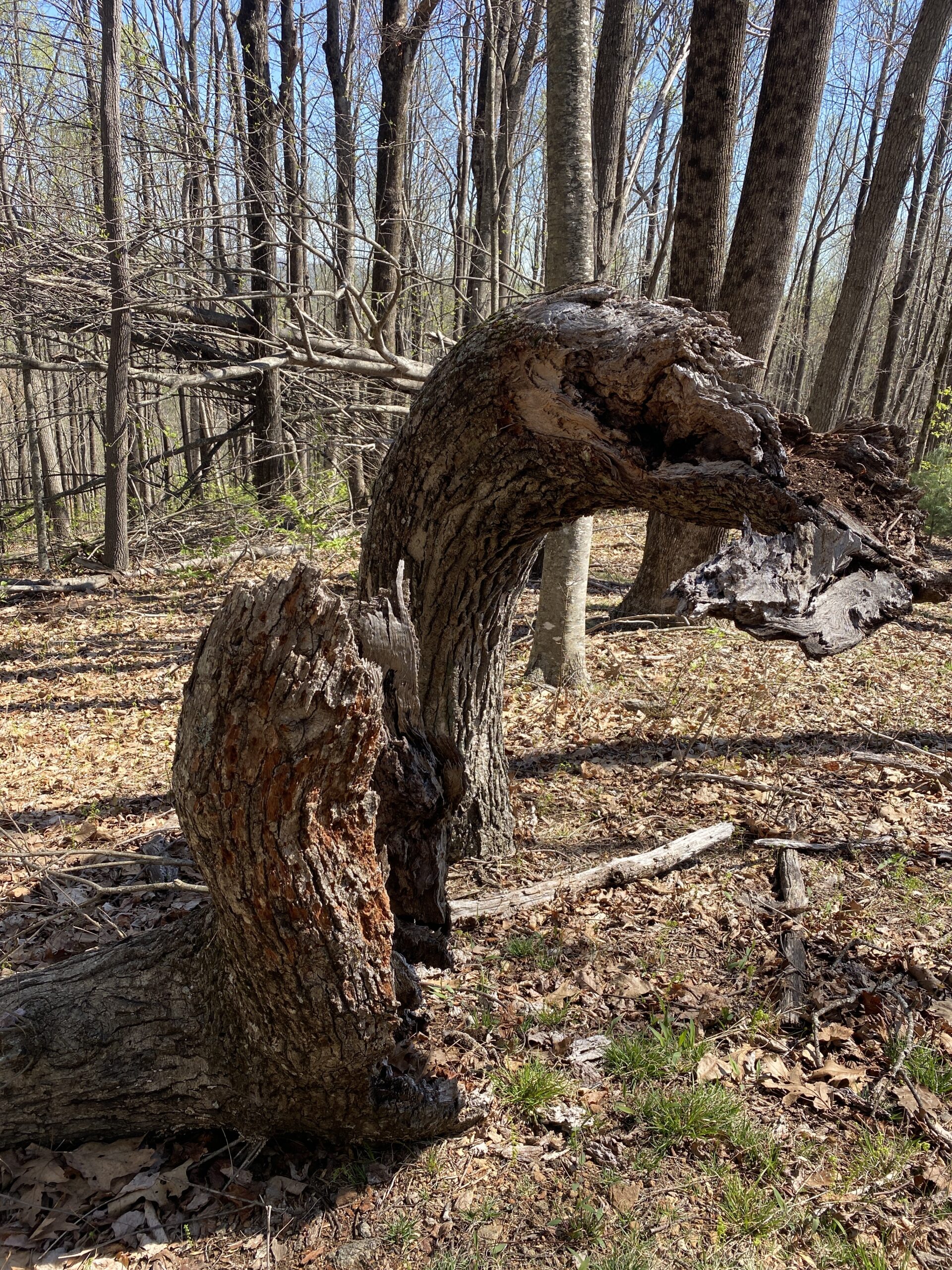
The remains of a native american signal tree?
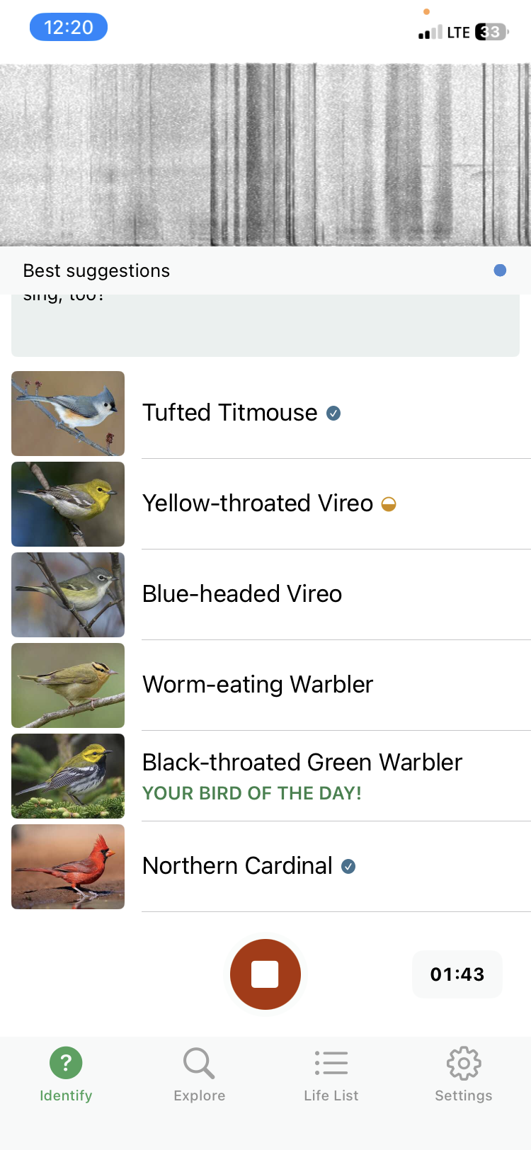
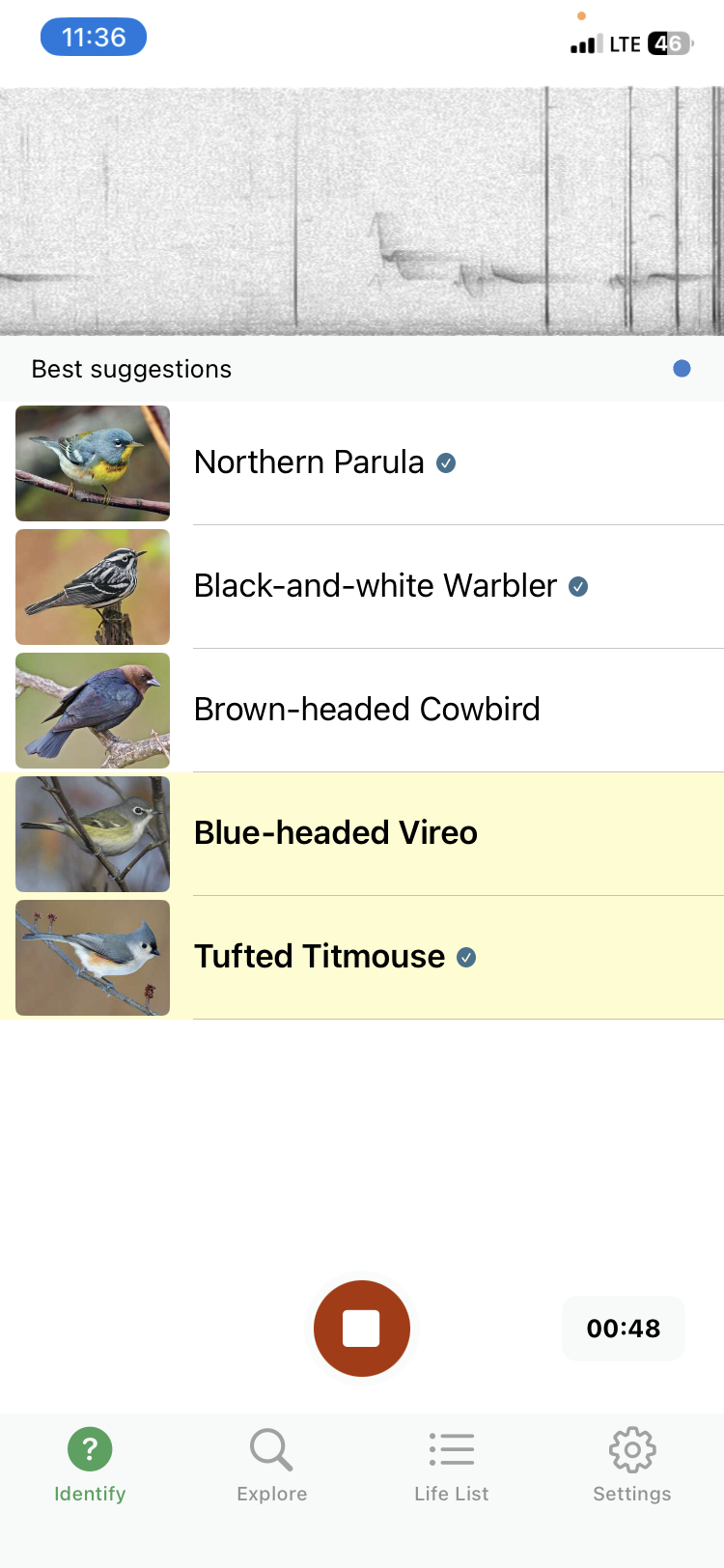
Lots of Birds Were Singing
I used the Merlin app to help me identify the birds I was hearing. It was a wonderful concert.